For 20 years structuring projects, we have often encountered resistance in the territories of beneficiaries who have been interviewed several times by consultancies, NGOs, and state agents (for project diagnosis) or by researchers. Unfortunately, much of the research does not return to the territories, and many projects are abandoned at the needs assessment stage. The result is legitimate frustration.
From the clients’ perspective, there is a perception of wasted time and resources when this stage is prolonged or when, perhaps, it has already been carried out at another time—as in the cases mentioned above. And in this case, the question remains: is it possible to skip this stage and start a project without a diagnosis of the current situation in the territory?
The answer is no. But the way in which this “project diagnosis” is carried out—which we prefer to call mapping—can vary greatly in terms of method, time, and resources, depending on each context.
Mapping as a reading of the territory
Before any proposal, plan, or intervention, there is a fundamental step: gaining a deep understanding of the territory. For Raízes, mapping territories is not just a technical survey; it is an exercise in listening, observing, and carefully reading the dynamics that shape each place.
Every territory is alive. It carries stories, conflicts, flows, relationships, and forces that are not always apparent at first glance. That is why mapping goes far beyond identifying people or institutions: it involves recognizing everything that acts upon and influences that space, whether human or non-human.
The mapping carried out by Raízes is based on a combination of technologies, data, and fieldwork. Looking at the history allows us to understand how that place was formed, how it has changed, and what paths it has taken to the present day.
In the field, the focus broadens. The territory is observed as a system of relationships: communities, organizations, infrastructure, natural resources, economic activities, and even elements such as rivers, developments, or areas of conflict. All of this makes up the local dynamics and helps reveal how the territory actually functions. This careful process allows us to build a picture of the current reality, not as something static, but as a set of interactions in constant motion.
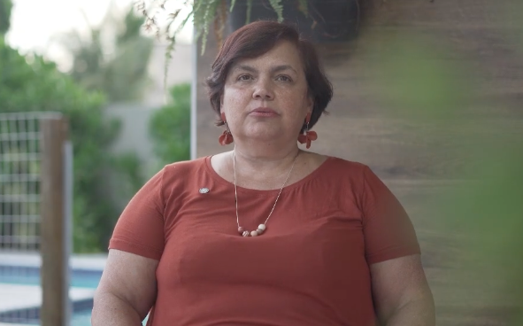
Mapping, in this sense, means recognizing the territory as it is, respecting its complexities, so that future actions make sense, engage with the local context, and have real potential for transformation. This is what we talk about in our video “How we map a territory,” in which we share Raízes’ perspective on how project diagnosis guides our work.
Check it out below (in Portuguese)!

